Export a territory map to PNG or PDF
Turn the current editable map into a clean visual file without uploading project data.
When to use this
Use visual export when a map needs to go into a slide, document, email, meeting or printable handout.
Step-by-step workflow
Open visual export
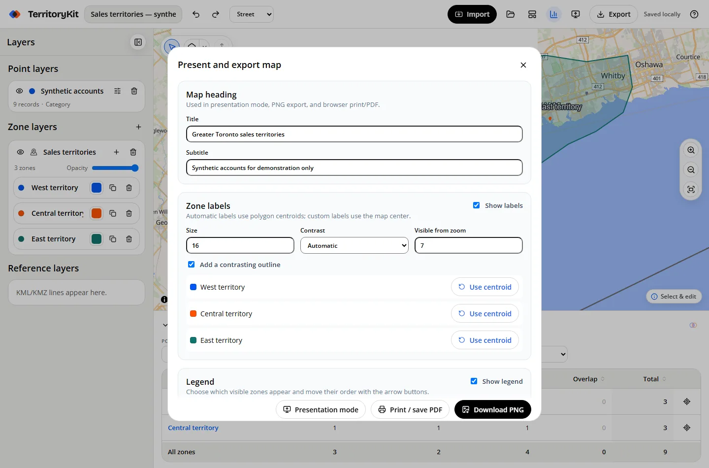
Choose Present map, or open Export and select Map image or print/PDF.
Add context
Enter an optional title and subtitle, then configure zone labels and legend order.
Choose PNG settings
Select 1×, 2× or 4× resolution, background, scale bar, attribution and whether to try including the basemap.
Download or print
Download PNG, or choose Print / save PDF and use the browser PDF destination.
Check the fallback message
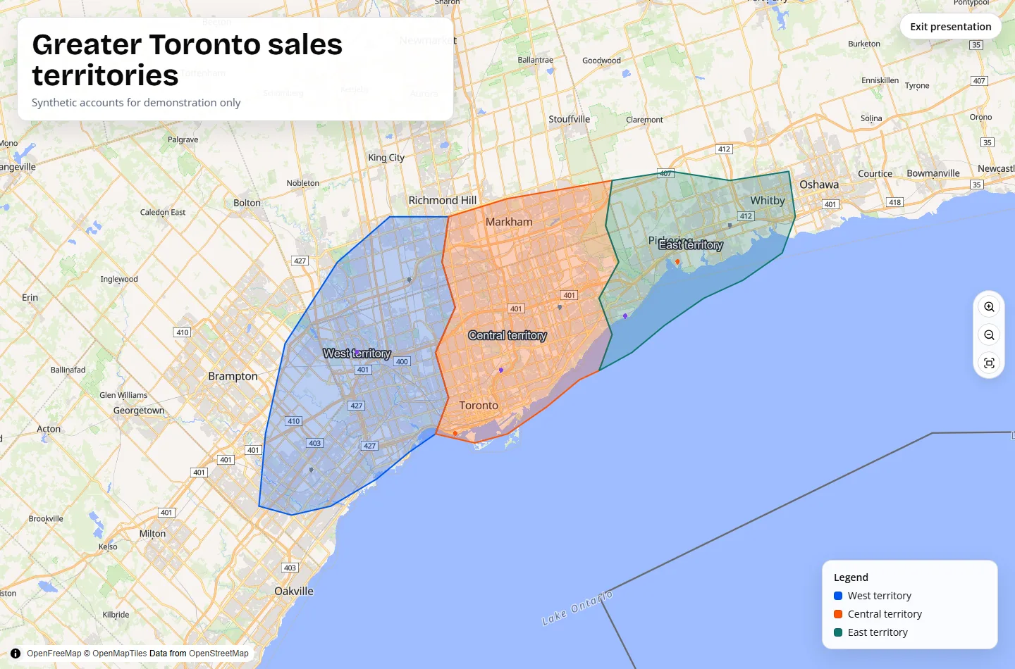
If tile capture is blocked by provider CORS or terms, TerritoryKit downloads a geometry-only image with zones, points, labels and legend.
Supported formats and inputs
- PNG at 1×, 2× and 4× resolution.
- Transparent or solid project background for geometry-only output.
- Browser print dialog for PDF or paper output.
Tips and common mistakes
- Use 2× for documents and most slide decks; use 4× when the image will be enlarged.
- Keep attribution enabled whenever a captured basemap is included.
- Use presentation mode to review the exact title, labels and legend before exporting.
Export and results
PNG generation runs locally. TerritoryKit never sends uploaded rows or zone geometry to an image service.
FAQ
Why did I get a geometry-only map?
Some tile providers prevent browser canvas capture. The fallback preserves your zones, points, labels, legend, title and scale without the tiles.
Can I export a transparent PNG?
Yes. Choose transparent background; it is most useful with geometry-only output.
Does TerritoryKit upload the map for PDF generation?
No. PDF uses the browser print dialog.
Related workflows
Build your first territory map
Bring your coordinates, draw the zones you need, and see the results as the map changes.
Open Map Builder